Environment Canada has issued a special weather statement for:
- Huntsville - Baysville
- Deep River - Whitney - Eastern Algonquin Park
- Bracebridge - Gravenhurst
Significant snowfall expected Sunday into Sunday night.
Snow is expected to begin Sunday afternoon and 5 to 10 cm of snow is possible before the snow tapers off Monday morning.
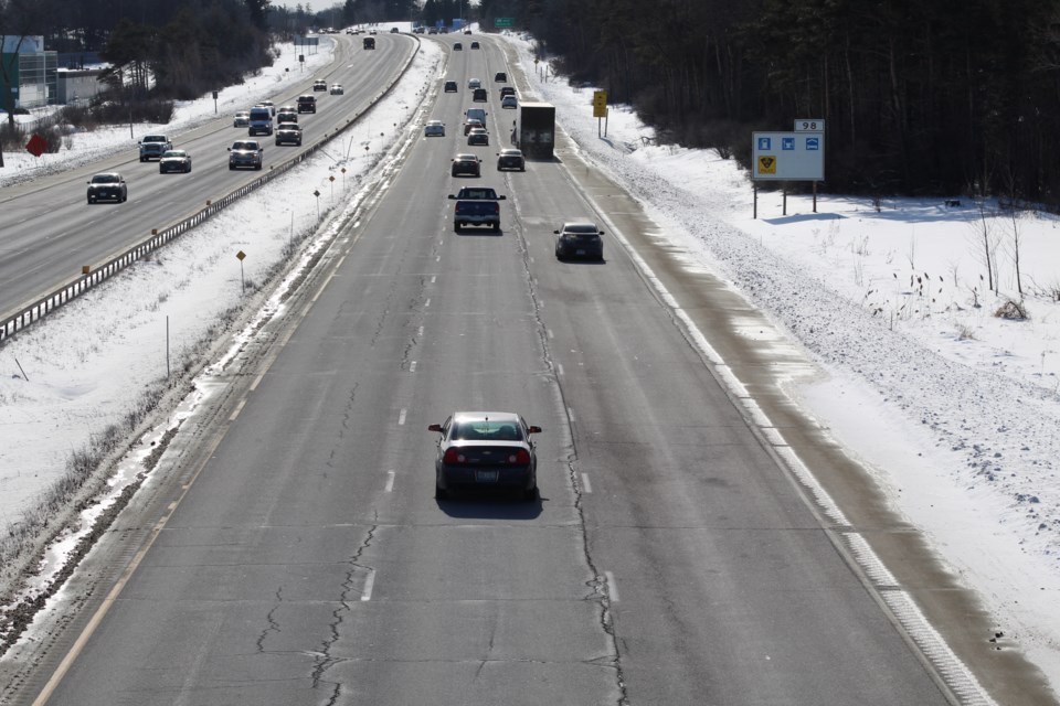
Travel is expected to be impacted due to moderate to heavy snow. Motorists should be prepared for winter weather driving conditions.
This is a result of a Colorado Low that will track from Ohio towards the St. Lawrence River Sunday into Monday.
There is still some uncertainty in model guidance as to the exact track of the low and the axis of heaviest snow.
Sudbury is not expected to receive significant snowfall.
Sunday will see a mix of sun and cloud in the morning. Wind up to 15 km/h. The high plus 1 with a wind chill of minus 18 in the morning.