Flooding is Canada’s costliest and most frequent natural disaster.
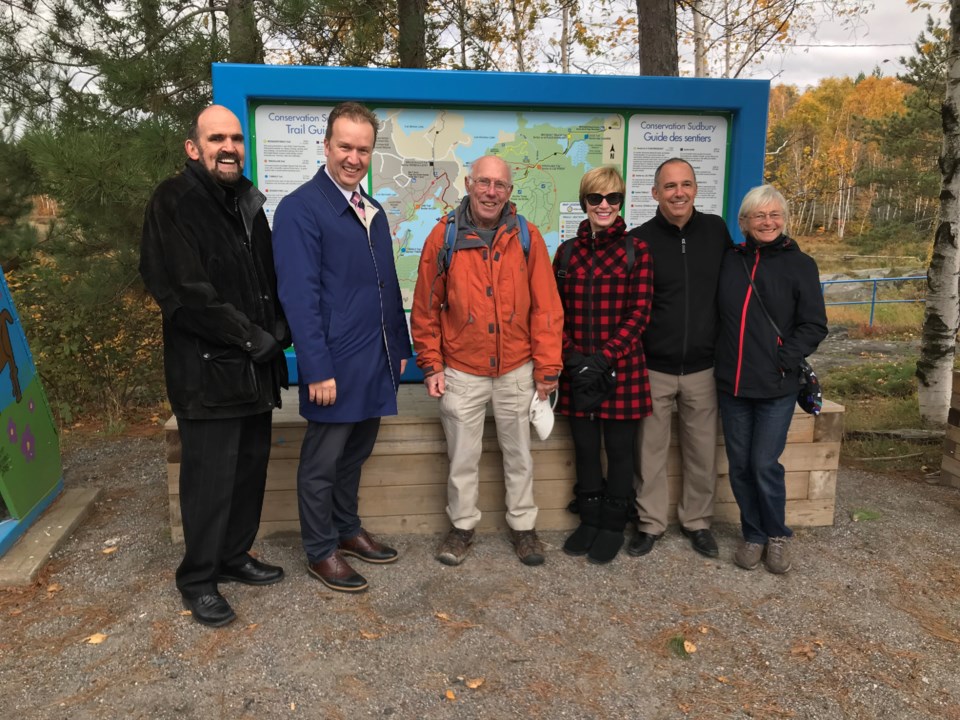
Sudbury MP Paul Lefebvre announced federal funding in the amount of $180,000 on Oct. 19, on behalf of the Minister of Public Safety and Emergency Preparedness, under the National Disaster Mitigation Program to better plan for and protect against the effects of flooding.
The Government of Canada cost-shares up to 50 per cent of eligible expenses for provincial projects and 75 per cent of eligible expenses for territorial projects. Provincial and territorial authorities may collaborate with, and redistribute funding to, eligible entities such as municipal or other local governments.
By utilizing targeted reserves accumulated through the municipal tax levy, Conservation Sudbury is contributing $180,000 in matching funding for this project.
This two-year project, starting in 2018, will support updated floodplain mapping of the Junction Creek watershed – last updated 38 years ago – by Conservation Sudbury. These updated maps and models will provide the City of Greater Sudbury and Atikameksheng Anishnawbek First Nation with a valuable tool to help guide land-use policies and decisions.
“Weather-related natural disasters are getting more severe, more frequent, more damaging and more expensive. This is a threat not only to the safety of our communities, but to our economic stability," said Lefebvre.
"The Government of Canada is determined to reduce these risks in partnership with provinces and territories. I welcome this funding as it will equip the City of Greater Sudbury and Atikameksheng Anishnawbek First Nation with the tools needed to expand the mapping of flood-prone areas in our community to reduce the impacts of flooding and increase our overall disaster resiliency.”
Identifying the boundaries of a potential flood event is critical to support informed investments to reduce the impacts of flooding on the over 3,500 properties located either partially or completely in the floodplains of Junction Creek.
“This funding provided by Public Safety Canada enables Conservation Sudbury to update mapping that is nearly 40 years old. Much has changed in the Junction Creek watershed since the floodplain was first delineated.," said Lin Gibson, chairperson, Conservation Sudbury.
"New technologies will be applied to recent data collected by the City of Greater Sudbury and the Province of Ontario that will allow dynamic models to be produced based on complete, highly-accurate mapping. This is a valuable capacity-building opportunity that both the City and Atikameksheng Anishnawbek First Nation will benefit from over the long term.”