Updated: July 6, 4:06 p.m.
Environment Canada has ended their severe thunderstorm warning for Greater Sudbury and vicinity.
Updated: July 6, 3:20 p.m.
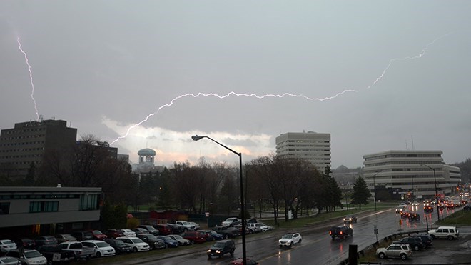
Environment Canada meteorologists are tracking a severe thunderstorm capable of producing very strong wind gusts, up to nickel-size hail and heavy rain.
A cluster of severe thunderstorms are developing northeast of Sudbury and tracking slowly southwest. Main threats are wind gusts near 90 km/h and large hail of 2 to 3 cm in diameter. Heavy rain is also a threat as the storms track over the same area.
"Take cover immediately if threatening weather approaches. Large hail can damage property and cause injury," said an Environment Canada warning.
"Severe thunderstorms can produce tornadoes. Lightning kills and injures Canadians every year. Remember, when thunder roars, go indoors."
Severe thunderstorm warnings are issued when imminent or occurring thunderstorms are likely to produce or are producing one or more of the following:
- Large hail
- Damaging winds
- Torrential rainfall
The Office of the Fire Marshal and Emergency Management recommends that you take cover immediately if threatening weather approaches.
Please continue to monitor alerts and forecasts issued by Environment Canada. To report severe weather, send an email to [email protected] or tweet reports using #ONStorm.
For more information click here.
Original story:
A severe thunderstorm watch is in effect for Greater Sudbury and vicinity, Environment Canada reported as of 11:13 a.m. Thursday.
Conditions are favourable for the development of dangerous thunderstorms that may be capable of producing damaging wind gusts and large hail.
A cluster of thunderstorms over Upper Michigan is expected to move eastwards into the Sault Ste Marie area early this afternoon. Additional new thunderstorms are also expected to form this afternoon over Northeastern Ontario. Any of these thunderstorms have the potential to become severe.
Severe thunderstorm watches are issued when atmospheric conditions are favourable for the development of thunderstorms that could produce one or more of the following: large hail, damaging winds, torrential rainfall.
The Office of the Fire Marshal and Emergency Management recommends that you take cover immediately if threatening weather approaches.