Expect a high of -3 today with snow ending in the morning. Wind will be from the northwest at 20 km/h in the morning, bringing a wind chill of -14 in the morning and -8 in the afternoon.
The UV index is one, or low. Tonight, the temperature will drop to -14 with cloudy periods and a 40-per-cent chance of flurries.
A winter storm is expected Sunday afternoon through Monday evening. Environment Canada said to expect heavy snow, with accumulations of 10 to 25 centimetres, with strong winds and gusts of 60 to 70 km/h.
There is a risk of heavy rain or freezing rain for some areas. Hazardous travel conditions are expected.
A strengthening low-pressure system is expected to track east across the Great Lakes Sunday through Monday. There remains some uncertainty in the track of this low pressure system and as a result, the snowfall amounts and areas affected by freezing rain and heavy rain could change.
At this time, areas north and west of Sudbury are expected to receive mainly snow, whereas areas east and south of Sudbury could see a wintry mix of precipitation. Warnings will be issued as the event draws nearer.
For current weather conditions, short-term and long-term forecasts visit Sudbury.com's weather page at www.sudbury.com/weather.
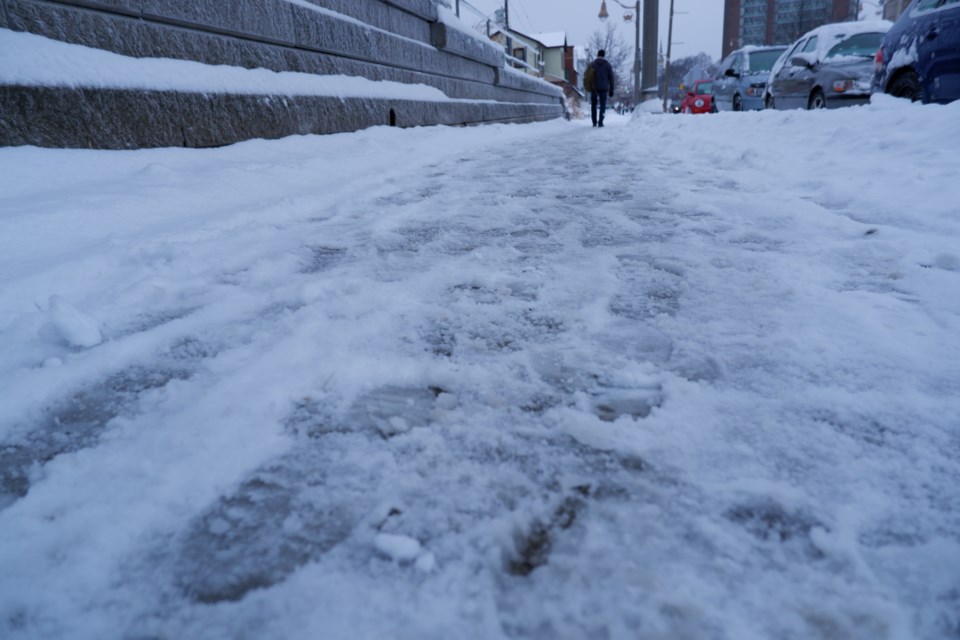
Sudbury.com is looking for photos of the latest weather conditions in Greater Sudbury.
If something catches your eye with the day's weather, snap a picture and send it over to [email protected] to be featured on our site.