By mid-afternoon July 25, one new fire has been discovered in the Northeast region.
- Wawa 24 is not under control at 0.1 of a hectare
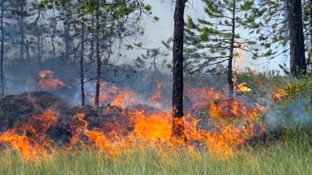
There are currently 11 active fires in the region:
- Bancroft 15 is under control at 0.1 of a hectare
- Parry Sound 27 is under control at 2 hectares
- Parry Sound 28 is being held at 3.6 hectares
- Parry Sound 29 is being held at 0.4 of a hectare
- Sudbury 30 is under control at 0.3 of a hectare
- Sudbury 62 is under control at 0.7 of a hectare
- Sudbury 63 is under control at 0.2 of a hectare
- Cochrane 9 is being observed at 3 hectares
- Cochrane 10 is being observed at 1 hectare
- Cochrane 11 is being observed at 15 hectares
The forest fire hazard is low to high in the Northeast region, with Manitoulin Island as well as the Kawartha Lakes and surrounding area presenting a high hazard.
For more information about the current fire situation and the active fires map: ontario.ca/forestfire.
To view the Fire Danger Rating for your area, simply click the “view map” icon, then “select map layers”. Check off the “Fire Danger Rating” option.
On the water boating this summer? Be aware of Waterbombers
From April 1 to October 31, waterways are used by CL-415 water bombers to suppress wildfires. When CL-415 waterbombers approach a lake, people in watercrafts are asked to move close to the shore so the waterbombers can perform their scoop.
This ensures safety for both the people and the aircraft. It also supports the firefighting effort because a waterbomber will not scoop from a lake if encroaching watercrafts pose a safety hazard. This in turn causes a delay in waterbombing on the fire as they wait for the watercrafts to clear the area, or have to seek a water source further from the fire to scoop safely.
Waterbombers often perform circuits when fighting a fire so more than one waterbomber could be scooping from the waterway in close intervals.
Report forest fires by calling 310-FIRE (3473).