Today there will be increasing cloudiness. Snow beginning late this afternoon. Wind becoming southeast 20 km/h gusting to 40 near noon.
High of -8 C. Wind chill of -23 C in the morning and -14 C in the afternoon. UV index 1 or low.
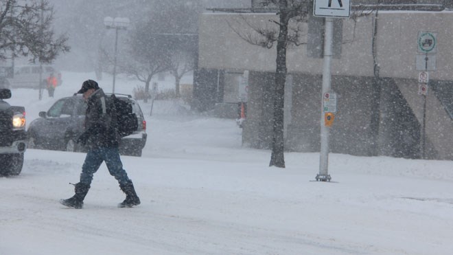
A special weather statement for Greater Sudbury has been issued by Environment Canada, as a “significant winter storm” is expected this afternoon into Friday night.
Tonight there will be snow mixed with ice pellets changing to rain before morning. Risk of freezing rain overnight. Fog patches developing overnight.
Snow and ice pellets will be in the amount of five centimetres. Wind southeast 20 km/h gusting to 40. Temperature rising to 2 C. Wind chill of -15 C in the evening.
Travel may become hazardous from this afternoon into early Saturday morning, said the weather statement.
For current weather conditions, short-term and long-term forecasts visit Sudbury.com's weather page at www.sudbury.com/weather.
Sudbury.com is looking for photos of the latest weather conditions in Greater Sudbury.
If something catches your eye with the day's weather, snap a picture and send it over to [email protected] to be featured on our site.