Updated: Jan. 25 at 3 p.m.
The freezing rain warning issued by Environment Canada for Greater Sudbury and the surrounding area has been lifted.
Updated: Jan. 24 at 4:35 p.m.
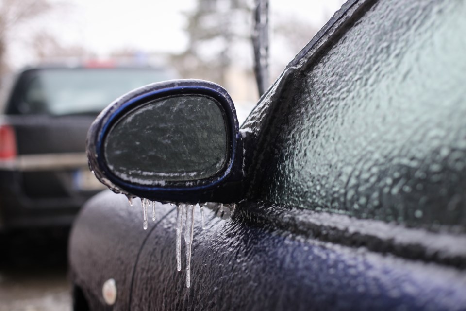
Environment Canada has upgraded a special weather statement that was issued Friday morning to a freezing rain warning.
Freezing rain is expected overnight into Saturday morning. With temperatures hovering near the freezing mark, some of this precipitation may begin as rain or snow. Ice accretion amounts up to 5 mm are possible.
Freezing rain will change to snow near midday with near 5 cm of snowfall expected by Sunday morning.
Surfaces such as highways, roads, walkways and parking lots may become icy and slippery. Please continue to monitor alerts and forecasts issued by Environment Canada.
To report severe weather, send an email to [email protected] or tweet reports using #ONStorm.
Original story:
A special weather statement is in effect for Greater Sudbury and vicinity.
There is a risk of freezing rain late tonight into Saturday morning, according to Environment Canada.
Precipitation will move into the area tonight and may begin as snow, rain or freezing rain. Several hours of freezing rain are possible before the precipitation changes to rain or snow late Saturday morning or early Saturday afternoon. A transition to only snow can be expected Saturday night.
A freezing rain warning may be required as details become more clear, said the Environment Canada advisory.