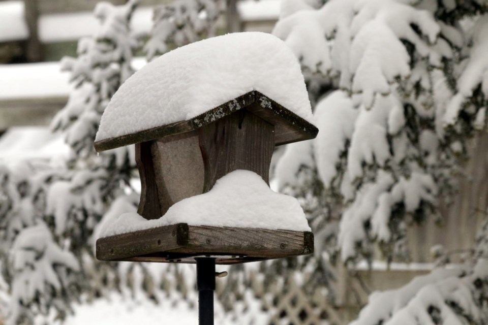
Greater Sudburians can expect to see snow and ice pellet accumulations of 20 to 30 cm from Friday night into Saturday.
Environment Canada has put a winter storm watch in effect for the Greater Sudbury area.
They forecast snow falling Friday morning into the late afternoon, followed by a winter storm overnight Friday into Saturday afternoon.
During the event, Environment Canada cautions people to expect:
- Snow and ice pellet accumulations of 20 to 30 cm.
- Reduced visibility due to heavy snow and blowing snow.
- Freezing rain with ice accretion of two to three mm possible.
- Strong wind gusts up to 60 km/h.
The storm is the product of two weather systems expected to hit the area.
“The first will move through during the day on Friday bringing five to 10 cm of snow,” Environment Canada said in their weather watch.
“There will then be a brief break in the precipitation Friday evening before a second and much stronger system moves in overnight Friday. Depending on the track of the system, some areas will see heavy snowfall while others will receive significant ice accretion. Strong winds are also expected, and combined with any ice accretion could produce utility outages.”
They encourage people to continue monitoring alerts and forecasts, and to report severe weather by email to [email protected] or on Twitter using #ONStorm.