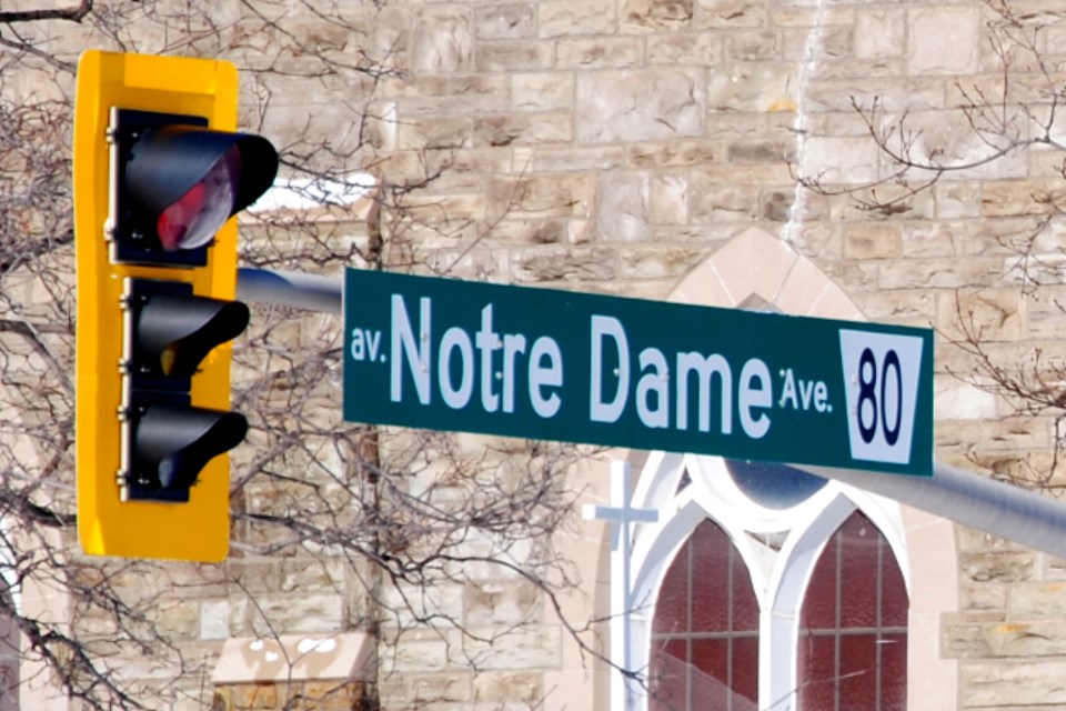
A longstanding municipal proposal to widen Notre Dame Avenue from four lanes to six from Kathleen Street to Lasalle Boulevard has been taken off the table.
It’s a threat Flour Mill Business Improvement Area chair Terry McMahon said the city has rehashed every few years for decades, and that he’s pleased to see it likely put to rest.
“We heard this quote from a city planner years ago, ‘Roads kill neighbourhoods,’ especially the widening of roads,” he said. “It might have been 20 years ago, we’ve been fighting this for so long.”
Earlier this month, Ward 12 Coun. Joscelyn Landry-Altmann introduced a successful amendment to the city’s draft Official Plan to strike the proposed street widening from the document. With council’s expressed support, the draft Official Plan up for public consultation within the coming months will now reflect that change.
City traffic and asset management supervisor Joe Rocca expressed support for alterations to traffic plans at the time, noting, “The COVID-19 pandemic has certainly altered the way people move about our community and it is something that should be considered.”
Further, the Paris-Notre Dame bikeway the city is currently looking to expand through the area makes the amendment more timely, he said.
With the amendment passing, McMahon said the community can finally be put at ease after years of putting their backs up as they have with every Official Plan amendment in recent years.
“We’re happy to see this is potentially, finally the end of this,” he said. “We’ve always doubted that six-laning Notre Dame is an answer to those issues, let alone affecting the viability and attractiveness of the area.”
In the scope of things, he argues that the traffic congestion issue along this major arterial road pales in comparison to that experienced in other major centres, and that it’s only an issue during brief periods of time in the morning and at supper time.
Widening the road would adversely affect area businesses, he said, which would become closer to the road in some cases and in others, such as the Shell gas station – the area’s only gas station – to close.
Another issue, he said, is with pedestrians crossing the street.
“The councillor fought hard to get the pedestrian light extended to a more reasonable time for seniors, so add another lane – how well is that going to go?” he asked. “We're a high-density neighbourhood with a lot of multi-residential units, so there’s not a lot of car ownership here, so you’ve got a higher per-capita pedestrian number.”
Flour Mill Community Action Network chair Claude Charbonneau reiterated some of these concerns, and suggested that the city look at alternative solutions that don’t involve “adding asphalt to the place.”
“It’s not about turning everything into asphalt and moving vehicles through,” he said, adding that whatever traffic issue the city is currently experiencing isn’t causing a great enough problem to disrupt the community so greatly.
“We should be looking at keeping what we’ve got,” he said, adding that he’s much more enthused by the bikeway and other active transportation opportunities through the neighbourhood.
The city is currently seeking federal funding to expand the bikeway along Notre Dame Avenue from Wilma Street to the Bridge of Nations.
“That’s a huge bonus for us,” he said. “If they get that done, I think it’s a better use of money for the environment and everything else.”
Ward 4 Coun. Geoff McCausland’s proposed Official Plan amendment to have more land freed up for housing projects also passed alongside an amendment by Ward 9 Coun. Deb McIntosh, which read: “The City should conduct an Environmental Assessment to recommend alternative opinions and solutions to address the capacity of the transportation network to the South Bay Road / Ramsey Lake peninsula area.”
The Official Plan helps guide the city’s development and land use and helps inform decisions over the next 20 years. The Official Plan is revised every five years, and the city is currently in the midst of phase two of its latest revision.
Click here for a copy of the city’s draft document. A public consultation process will begin on the proposed plan within the next few months.
Tyler Clarke covers city hall and political affairs for Sudbury.com.