You are on the back roads, and you see a picnic lake, a trout fishing stream, or a wetland that matters, do you wonder where the water is going?
Remember Stanley and Livingstone they thought the source of the Nile was important enough to find. Stanley was a Welsh-American explorer, famous for his exploration of Central Africa and his search for missionary and explorer Dr. David Livingstone. Livingstone never did find the source of the Nile, but he did find the source of the Congo River instead, and Victoria Falls.
You are most familiar with the two-direction, north-south, watershed boundary phenomena. It is those distinctive green and white northern Ontario highway signs with the bear and the moose icons identifying the water flows in different directions. Strange thing though there’s never any water by the signs. On one side it says the water flows to the Atlantic Ocean and on the other to the Arctic.
More finds
From the most recent micro-adventure in northern Ontario. It was discovered there is no interpretative roadside sign there and there most likely won’t be. But there are a couple of locations in northern Ontario where three watershed boundaries meet and the water flows in very different directions, that’s important Livingstone would have said.
Recently the quest was on to locate these places. It is more than just putting a pin on a digital map. And there is more to these boundaries than just the bragging rights of getting to a unique back roads location. First off see the map.
For context the Great Lakes-St. Lawrence River Basin is the single largest watershed in the world, ranging from Trois-Rivières, Québec to beyond the western point of Lake Superior. It contains more than 20 per cent of the world's supply of surface fresh water and about 84 per cent of North America's surface fresh water. It has sub-watersheds according to each of the Great Lakes. Then there is the Arctic watershed which includes water moving towards James and Hudson Bays in northern Ontario.
Why watersheds?
The Laurentian Divide (or Northern Divide) is a continental divide in North America dividing the direction of water flow in eastern and southern Canada and the northern Midwestern United States. Water north of the height of land flows by rivers to Hudson and James Bays or directly to the Arctic. Water south of the divide makes its way to the Atlantic Ocean by a variety of streams, including the Great Lakes and Saint Lawrence River to the east, and the Mississippi River to the Gulf of Mexico to the south. That’s where all the seemingly invisible watershed lines come from, and the most recent glaciers played a major role.
“The three watersheds are a natural geometric point, a vertex of sorts. At a close-up scale, there are so many subtle influences on the shape of those lines, especially in flat country,” says Larry Dyke, a professor emeritus from Queen’s University’s geology department. The maximum ice extent of the Laurentide Ice Sheet occurred approximately 25,000–21,000 years ago when the ice sheet was up to two kilometres (km) thick. “The weight and the gradual advance of the glaciers, like a bulldozer, and the melting period created all kinds of interesting landforms.
“The boundary of a watershed is defined by the highest elevations surrounding a lake or river segment. A drop of water falling outside of the boundary will drain into another watershed.
“Thinking of the grain in a piece of wood, a slightly different cut may give a very different pattern. A slight bevelling of the landscape will move a drainage boundary kilometres.”
When you are standing on the ground, it is almost possible to see which way the water is flowing.
Wrong way
Watershed boundaries are one thing, changing the course of water flow to another direction is an unnatural feat.
Monica Garvie, is a PhD student candidate at Queen's University and is originally from Longlac. She is studying what has happened to the natural environment since the diversion of Long Lake took place. When you look at the map the very elongated lake almost stretches from Highway 11 (Longlac) approaching Highway 17 (Terrace Bay) it is 92 km (57 miles) in length), henceforth its name. Its flow was once towards the Arctic.
In an email she responded, “The waters of Long Lake originally flowed north towards the Hudson’s Bay but was diverted to flow south towards Lake Superior to accommodate logging and hydro-electric industries.” There is currently a series of control dams which regulate the flow of the altered system which now flows south.
The project took place in 1937-38, at the time there were no required environmental approvals or indigenous consultation. Changing the water flow was one of those engineering feats. It required the construction of a dam at the north end of Long Lake, and then a channel was created through the height of land to have the water flow south, eventually to Lake Superior. She is studying the long-term effects of changing the direction of a water course including the impact on migrating fish species. Long Lake has a history of elevated mercury levels flooding and erosion.
The Waboose Dam across the Ogoki River in northwestern Ontario was another watershed water diversion project. Rather than flowing north the water now heads towards Lake Nipigon. It is remote and mostly unknown, completed in 1943. Both of these diversions have variable water fluctuations and can have an impact on the water levels of Lake Superior. For more information read The Great Lakes Water Wars, which has been described as the “definitive work on the Great Lakes water diversion controversy.”
I contacted the author Peter Annin in Ashland, Wisconsin. “Spanning 1,700 feet (518 m)—or more than five football fields it is more than 450 feet (137 m) longer than the Hoover Dam on the Colorado River. It is by far the largest inter-basin water transfer project ever built in the Great Lakes region.
“As for Long Lake damming the Kenogami River on the north side of Long Lake and blasting and cutting a channel on the south side, engineers managed to funnel the diverted water into the Aguasabon River, which flows into Lake Superior near the town of Terrace Bay. At roughly 1,500 cfs (cubic foot/second) Long Lac is no small diversion either.
“When Ogoki and Long Lac are lumped together, they become huge—the equivalent of adding a large new river to the Lake Superior ecosystem. They not only raised water levels on Superior—the largest surface area of freshwater in the world—they also raised lake levels on every other Great Lake in the system. According to the International Joint Commission, Long Lac and Ogoki have boosted Lake Superior water levels by 2.4 inches (7 cm).” That is significant.
Another example, is New Post Falls, north of Smooth Rock Falls and the Abitibi Canyon, it is a more recent and a different water diversion project. You know the author.
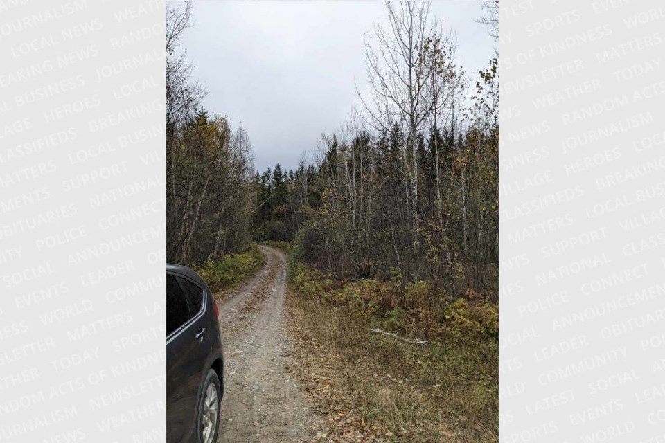
Brian Emblin, from Timmins, more than often is with Back Roads Bill on these "microadventures,” like the centre of Ontario and the four corners, he appreciates these geographic anomalies. He said, “This spot is neat, it is like being in three places at the same time.” See this map and the orange and yellow pins.
One trifecta location is near Shining Tree (Morin Village -Hwy. 560 – the Meteor Rd.) it has the upper reaches of the Wanapitei, Vermilion and Spanish Rivers (Lake Huron); Montreal River and tributaries (Lake Temiskaming- Ottawa River - St. Lawrence) and rivers moving north towards Hudson Bay.
The other three-boundary point is south of Chapleau, east of Hwy. 129 and east towards Sultan, (Wakami Prov. Park). It is located (about 300 m) just north of Hwy. 667, 4 km from the junction of Hwy. 129 and Hwy. 667. It has the Lake Superior and Lake Huron basins and the Hudson and James Bays (Arctic) watersheds.
So yes, you can say, “finally made it to the intended “spot” in the middle of nowhere beyond the digital map.” You did it, but there’s no marching band or bright lights or signs. Reality sets in, you are on the back roads, and of course, you will not see any surficial water moving in three directions. But think about where it is going, that is your next mindful exercise, naturally.


