Skip to content

Northwestern Ontario could be hit with up to 10 cm of snow starting Thursday

Alberta clipper being blamed for possible early arrival of winter weather in Thunder Bay
290415_snowplow1
Up to 10 centimetres of snow could be headed Thunder Bay’s way by Friday morning. (File)

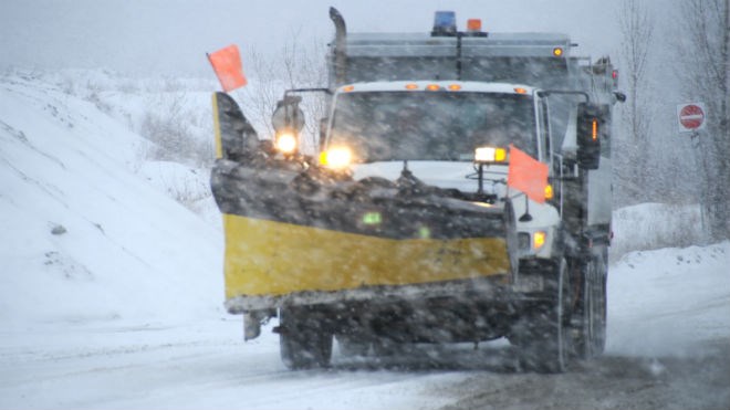
THUNDER BAY – Up to 10 centimetres of snow could be headed Thunder Bay’s way by Friday morning.

Environment Canada on Wednesday announced snow is expected to start falling on Thursday morning in areas inland from Lake Superior. It will taper off by the following morning, with roads becoming slippery during the storm and visibility falling because of falling and blowing snow.

The weather has been attributed to an Alberta clipper, forecasted to travel through northern Minnesota on Thursday.


Comments

Verified reader

If you would like to apply to become a verified commenter, please fill out this form.


Leith Dunick

About the Author: Leith Dunick

A proud Nova Scotian who has called Thunder Bay home since 2002, Leith is Dougall Media's director of news, but still likes to tell your stories too. Wants his Expos back and to see Neil Young at least one more time. Twitter: @LeithDunick
Read more