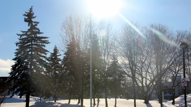
The coldest days of 2016 so far are behind us, as the mercury is set to rise this week, even getting a touch above the freezing mark late in the week.
After dropping well below the -30 mark last week, Monday's high will be a relatively warm -7, with some light flurries, according to Environment Canada's forecast. Accumulations of between two to four cm are expected with winds around 20 km/h.
Overnight we'll get a little bit more snow, with temperatures steady around -8. Tuesday will bring more snow and a high of -3, dropping to -15 overnight.
Wednesday will be a bit cooler. Expect a mix of sun and cloud with a 40 per cent chance of flurries and a high of -11. It will be clear and cold overnight with a low of -21.
It's forecast to be sunny and clear on Thursday with a high of -9. Long range, Friday will be snowy with a high of 2. It will hover at the freezing mark overnight with rain or wet snow expected. Rain or Saturday is expected to be cloudy with a 40 per cent chance of flurries and a high of plus 1.
Join Sudbury.com+
- Messages
- Post a Listing
- Your Listings
- Your Profile
- Your Subscriptions
- Your Likes
- Your Business
- Support Local News
- Payment History
Sudbury.com+ members
Already a +member?
Not a +member?
Sign up for a Sudbury.com+ account for instant access to upcoming contests, local offers, auctions and so much more.