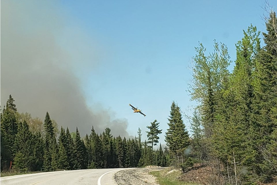
The Timmins 2 fire didn't get any bigger yesterday, but it didn't get any smaller either.
The latest fire situation update from the Ministry of Natural Resources and Forestry pegs the fire at 4,645 hectares. Still listed as not under control, Timmins 2, which has been burning for nearly two weeks, is about four kilometres west of Gogama.
A travel restriction order remains in place in the areas surrounding the fire.
All travel and use of Jack Road from the intersection of Jack Road and Highway 144, west to Mesomekenda Lake Dam is prohibited. All use and occupation of Crown Land or within 500 metres of the described closed roads within this area is prohibited.
Those who require access to the restricted travel area for non-recreational purposes, phone 705-235-1334 to request a travel authorization permit. MNRF has said it will review the request for access based on the rationale provided, local fire activity, and the potential fire risk.
You can find the restricted travel areas on a map, which you can find here.
As of Tuesday afternoon, there were no new fires burning in the northeast. The fire hazard is low to moderate across most of the northeast.