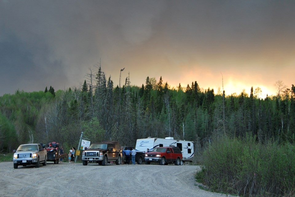
One of the realities of Northern Ontario forest fires is that the Ministry of Natural Resources and Forestry (MNRF) is closing off large areas of recreational crown land to the public for an indefinite period during the forest fire emergency.
This is called an Implementation Order. MNRF has issued one such Emergency Area Order for the area surrounding Sudbury Fire 17. Similar orders are also in place in other parts of Northern Ontario.
A Twitter posting by @ONforestfires on Wednesday spelled out the details for Sudbury Fire 17.
"A new Implementation Order within active #wildlandfire areas in the Sudbury District is now in effect to protect public safety and facilitate effective fire suppression. Additional evacuations of the area identified on the map are in place. Visit http://Ontario.ca/forestfires for info," said the posting.
The ministry has also published a map of the area defined by the order. The area covered by the order is northwest and Espanola and east of Elliot Lake.
It basically means that members of the public are forbidden from being in that area while firefighting efforts are underway, unless a person has a valid travel permit from MNRF. The MNRF said the order not only forbids people from entering the area, it further requires that any person already in the restricted area must move out for safety and security reasons.
People who own camps or cottages need to be assured no one is prowling local back roads.
Weekend boaters, campers and hikers are advised that large areas of crown land could be off limits for several days or weeks.
This includes the following areas:
- All travel and use of Highway 553 (also known as the Massey Tote Rd) south of Cameron Creek.
- All travel and use of the West Branch Rd south of Fleck Creek in Weeks Township.
- All travel and use of Highway 810 (also known as the Massey Tote Rd) south of Ritchie Falls.
- All travel and use of John's Creek Rd at Porter Creek.
- All travel and use of Fox Lake Rd at Centre Creek.
- All travel and use of Kitt’s Creek Rd at Boon Twp. Rd (Boon Township boundary).
- All travel and use of Highway 553 (also known as the Massey Tote Rd) in Olinyk Township, south of Gervais Township.
- All travel and use of Pecors Rd at the Joubin, Gaiashik Township boundary
Sudbury 17 is 4211 hectares and not under control at this time. The fire is located north of Madaweson Lake. This fire has exhibited high to extreme fire behaviour, fire crews are conducting values protection and suppression is ongoing. An Implementation Order effective June 5 has been implemented to protect public safety and facilitate effective fire suppression, said a news release from the ministry.