Did you know the apps you use to find city bus routes are based on Geographic Information System data?
GIS data has also been used by the city to map parks and the area's many recreational trails, said Kris Longston, manager of Community Strategic Planning for the City of Greater Sudbury.
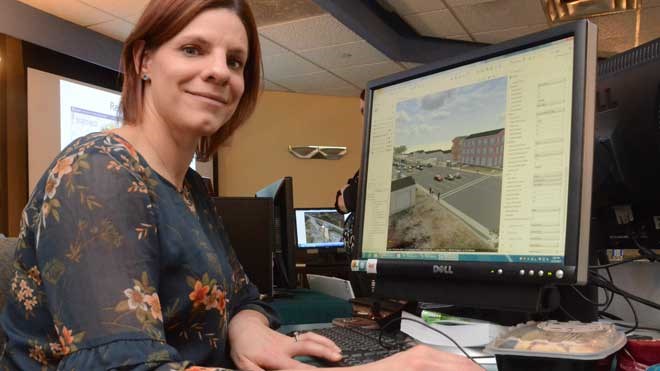
GIS is a system designed to capture, store, manipulate, analyze, manage and present spatial or geographic data that can be turned into a compelling map that uncovers hidden stories.
Longston and his colleagues were celebrating GIS Day in Sudbury, and took the opportunity to showcase the different applications for GIS used at the city.
“GIS has been in use for more than 20 years, but with all computer technology, it's expanding and changing rapidly,” he said. “We're trying to make things more user friendly for everyone, and take GIS from something the just the city uses and make it more available to all departments within the city and externally, as well.”
GIS Day was held in partnership with Laurentian University and ESRI Canada.