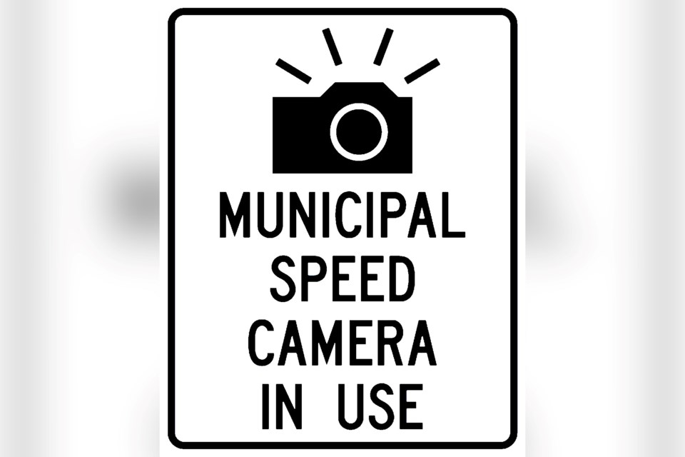
Automated speed trap cameras are still on schedule to be installed throughout Greater Sudbury by September, and the city has narrowed in on a list of priority locations.
The city is deploying six mobile automated speed enforcement cameras throughout the city on a four-month cycle, meaning 18 locations are expected to be covered within a one-year period.
The operations committee meeting of city council unanimously approved a list of priority locations (listed below) during Monday’s meeting, and cleared staff to draft a bylaw to allow the cameras’ deployment and use.
City traffic and asset management supervisor Joe Rocca clarified on Monday that the list of priority locations might not end up being where cameras are deployed in every case.
“There may be locations where it’s physically impossible to install the mobile units,” he said, adding that in those cases, ineligible streets will be set aside for the potential installation of pole-mounted semi-fixed cameras in the future.
Cameras might also be deployed at lower-ranked locations during different seasons, such as in school zones during the fall months when there are more children around.
The mobile speed enforcement cameras consist of heavy boxes that can be dropped anywhere there is enough space for them.
Speeding vehicles will have their licence plates photographed, and the images will be reviewed by provincial offences officers working out of a joint processing centre the City of Toronto has set up, which also processes tickets issued through Greater Sudbury’s six red light cameras.
Also like the red light cameras, the tickets generated by speed trap cameras will be issued to the owner of the vehicle used in each offence, regardless of who was driving. As such, no demerit points will be levied.
According to the city’s 2023 budget, it’s anticipated that each offence will bring in $55 in fine revenue. The city has anticipated that the cameras will yield a net revenue, the amount of which will depend on how many tickets are issued.
This slate of six automated speed enforcement cameras will be the city’s first speed-related cameras, with the six red light cameras already in use strictly ticketing motorists for running red lights.
The city began being allowed to deploy automated speed enforcement cameras on Dec. 1, 2019, when the provincial Bill 65, Safer School Zones Act was proclaimed. It allows municipalities to operate the cameras in areas designated as Community Safety Zones, which the city will need to designate each of the affected areas prior to deploying cameras.
Top locations for automated speed enforcement, with their associated score, are in order:
- Bellevue Avenue (between Picard Street and Ralph Street): 12.5
- Algonquin Road (between Maurice Street and Field Street): 12
- Falconbridge Road (between Donnelly Drive and Church Street): 11.75
- Main Street, Val Caron (between Justin Street and MR 80): 11.5
- Bancroft Drive (between Kingsway and Bellevue Avenue): 11.25
- Valleyview Road (between Evans Road and Fournier Drive): 11.25
- Hillcrest Drive (between Brian Street and Mikkola Road): 11
- MR 80, McCrea Heights (between Robin Avenue and Hubert Street): 11
- Garson Coniston Road (between Maki Street and Falconbridge Road): 10.75
- Howey Drive (between Downing Street and Somerset Street): 10.50
- Hawthorne Drive (between Westmount Ave and Patrick Street): 10.25
- Notre Dame Street East, Azilda (between Leo Street and Rayside Avenue): 10.25
- Second Avenue, Sudbury (between First Avenue and Kenwood Drive): 10.25
- Loach's Road (between Oriole Drive and Cerilli Crescent): 10
- Countryside Drive (between Blyth Road and Algonquin Road): 9.75
- Gary Avenue (between Lasalle Boulevard and Madison Avenue): 9.75
- Bancroft Drive (between Estelle Street and Hazelton Drive): 9.75
- Moonlight Avenue (between Claude Street and Gagne Street): 9.75
- Cote Blvd, Val Caron (between Notre Dame Avenue and Capreol Road): 9.5
- Kelly Lake Road (between Robinson Drive and Southview Drive): 9
- Second Avenue, Coniston (between Highway 17 and Government Road): 9
- Long Lake Road (between McFarlane Lake Road and Sunvalley Avenue): 9
- Morin Avenue (between Dell Street and Bruyere Street): 8.75
- Mackenzie Street (between Baker Street and Elgin Street): 8.5
- Desmarais Road (between MR 80 and Talon Street): 8.5
- O'Neil Drive West (between Pilotte Road and Metcalfe Avenue): 8.25
- Kathleen Street (between Brebeuf Avenue and Mackenzie Street): 8.25
- Levesque Street (between Raymond Street and Rheal Street): 8
- Barrydowne Road (between Westmount Avenue and Fairburn Street): 8
- Dublin Street (between Attlee Avenue and Arthur Street): 7.75
- Leslie Street (between Notre Dame Ave and Mountain Street): 7.25
- Municipal Road 8 (between Fraser Avenue and Second Avenue North): 7.25
- Lansing Avenue (between Lasalle Boulevard and Maley Drive): 7
- Edward Avenue (between King Street and George Street): 7
- Frood Road (between Kathleen Street and Jean Street): 6.75
- Cote Avenue, Chelmsford (between Highway 144 and Hill Street): 6.5
- Paquette Street (between Voyageur Street and Lamothe Street): 6.25
- Grandview Drive (between Montrose Avenue and Wedgewood Drive): 6.25
- Meehan Street (between Dennie Street and Coulson Street): 6.25
- Robinson Drive (between Kelly Lake Road and Southview Drive): 5.75
- Power Street (between Godfrey Drive and Cobalt Street): 5.75
- Whittaker Street (between Douglas Street and Haig Street): 5.5
- Arnold Street (between Barbara Street and Skyward Drive): 5.5
- Balsam Street (between Garrow Road and Nickel Street): 4.75
- Attlee Avenue (between Soloy Drive and Stonegate Drive): 4.5
Tyler Clarke covers city hall and political affairs for Sudbury.com.