Skip to content

Tonight’s winter storm watch upgraded to warning

221222_winter-storm-file-photo3
snowstorm winter storm blizzard sudbury weather

A winter storm watch issued March 30 has now been upgraded to a warning. 

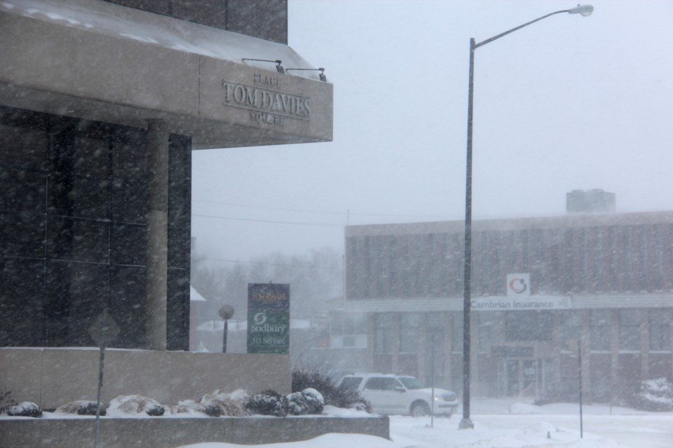
Environment Canada is cautioning people in the Greater Sudbury  to expect significantly reduced visibility due to heavy snow and blowing snow and snowfall accumulations of 15 to 30 cm, tonight and into Saturday. There could be peak snowfall rates up to 8 cm/hr possible as well as a risk of freezing rain.

They predict a brief break in the precipitation this evening before a second and much stronger system moves in tonight. Heavy snow and blowing snow will develop and significantly reduce visibility, creating dangerous travel conditions. Snow may mix with ice pellets or freezing rain at times tonight.

Surfaces such as highways, roads, walkways and parking lots may become difficult to navigate due to accumulating snow. Poor weather conditions may contribute to transportation delays.

Environment Canada recommends that Sudburians prepare for quickly changing and deteriorating travel conditions. If visibility is reduced while driving, turn on your lights and maintain a safe following distance.

Please continue to monitor alerts and forecasts issued by Environment Canada. To report severe weather, send an email to [email protected] or tweet reports using #ONStorm.


Comments

Verified reader

If you would like to apply to become a verified commenter, please fill out this form.


Current Weather

Partly Cloudy

Partly Cloudy

10.6°C

Pressure
100.9 falling
Visibility
24.1 km
Dewpoint
1.1 °C
Humidity
52%
Wind
SSW 17 km/h

Radar Satellite


Hourly Forecast

Today
11 PM
11°C
Partly cloudy
Tomorrow
12 AM
10°C
Partly cloudy
Tomorrow
1 AM
8°C
Partly cloudy
Tomorrow
2 AM
7°C
Partly cloudy
Tomorrow
3 AM
6°C
Partly cloudy
Tomorrow
4 AM
5°C
Partly cloudy
Tomorrow
5 AM
4°C
Partly cloudy
Tomorrow
6 AM
5°C
A mix of sun and cloud
Tomorrow
7 AM
5°C
A mix of sun and cloud
Tomorrow
8 AM
6°C
A mix of sun and cloud
Tomorrow
9 AM
8°C
A mix of sun and cloud
Tomorrow
10 AM
10°C
Mainly cloudy

7 Day Forecast

Partly cloudy

Tonight

4 °C

Partly cloudy. Low plus 4.


Chance of showers

Saturday

13 °C

Mainly cloudy. 40 percent chance of showers in the afternoon. High 13. UV index 4 or moderate.


Chance of showers

Saturday night

5 °C

Mainly cloudy with 60 percent chance of showers. Fog patches developing overnight. Low plus 5.


Sunny

Sunday

18 °C

Sunny. High 18.


Chance of showers

Sunday night

10 °C

Cloudy with 60 percent chance of showers. Low 10.


Chance of showers

Monday

21 °C

A mix of sun and cloud with 30 percent chance of showers. High 21.


Chance of showers

Monday night

5 °C

Cloudy periods with 30 percent chance of showers. Low plus 5.


Sunny

Tuesday

19 °C

Sunny. High 19.


Clear

Tuesday night

3 °C

Clear. Low plus 3.


A mix of sun and cloud

Wednesday

18 °C

A mix of sun and cloud. High 18.


Cloudy periods

Wednesday night

5 °C

Cloudy periods. Low plus 5.


Cloudy

Thursday

19 °C

Cloudy. High 19.


Yesterday

Low
4.1 °C
High
13.5 °C
Precipitation
0.0 mm

Normals

Low
4.3 °C
High
16.3 °C
Average
10.3 °C

Sunrise and Sunset

Sunrise
5:56 AM
Sunset
8:46 PM

Record Values

Type Year Value
Max 1979 26.7 C
Min 1966 -3.3 C
Rainfall 2006 21.6 mm
Snowfall 1967 5.3 cm
Precipitation 2006 21.6 mm
Snow On Ground 1967 5.0 cm

Based on Environment Canada data