Environment Canada has upped the ante concerning the snowfall warning it issued yesterday.
Originally calling for about 10 centimetres, the warning was updated this morning at about 8:15 a.m., advising that now between 15 and 25 cm of snow are expected.
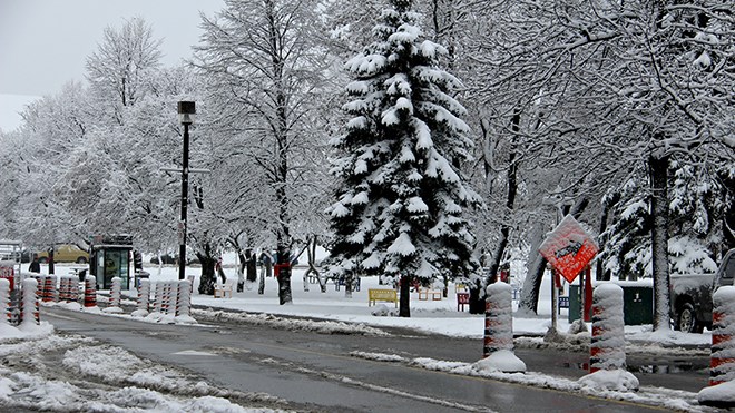
Environment Canada said an intense Alberta Clipper is approaching the Great Lakes, bringing with it significant mid-winter snowfall, beginning this morning.
Meteorologists expect the low pressure system will track across Lake Huron and Georgian Bay Friday, then over Algonquin Park into the Ottawa Valley or Southwestern Quebec by tonight.
The snow will become heavy at times Friday afternoon and evening, Environment Canada said, as the Clipper passes by, with many areas receiving a total of 15 to 25 cm by Saturday morning.
Ice pellets and perhaps some brief freezing rain are possible in areas south of Sudbury and North Bay.
In addition, strong and gusty northerly winds will develop by Friday night, resulting in some blowing and drifting snow in exposed areas. Driving conditions will deteriorate quickly after the snow begins this morning.
Motorists should adjust travel plans accordingly. Prepare for quickly changing and deteriorating travel conditions. Rapidly accumulating snow will make travel difficult.
Visibility may be suddenly reduced at times in heavy snow. Surfaces such as highways, roads, walkways and parking lots may become difficult to navigate due to accumulating snow.